
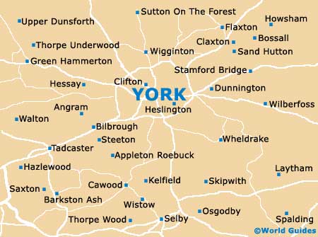
A Quick Orientation of York
Situated in the northeast of England, where the River Ouse meets the Foss, is the historic city of York. The majority of places of interest in York are situated in the city centre and can easily be explored on foot. The city's key landmark is St Peter's Cathedral, more commonly known as York Minster, which can be found on the Ouse's eastern bank, not far from the Shambles - York's most famous medieval street. King's and St Helen's squares are also located in the centre and have their fair share of shops, attractions and historic buildings.
If you fancy spending some time in the city's atmospheric pubs, head to Micklegate with its concentration of York boozers. It's possible to walk along York's historic walls which cross the city and afford a bird's eye view of the place.
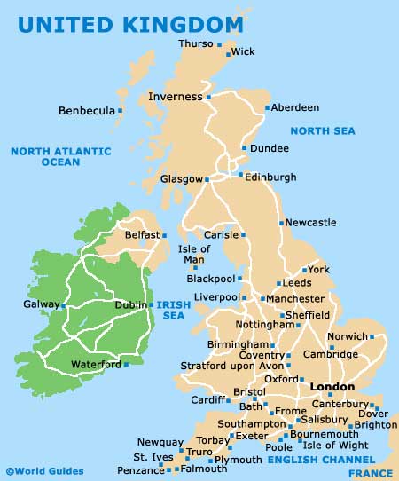
United Kingdom Map
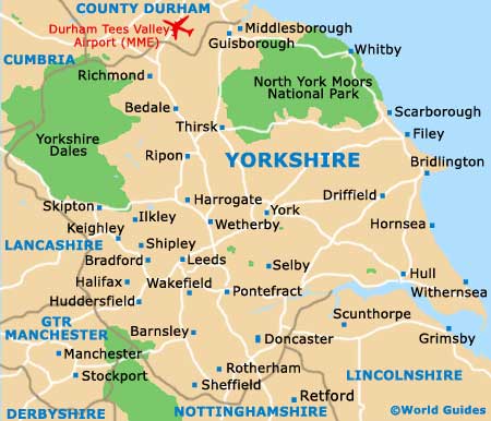
Yorkshire Map
York Map
Useful York Links
Guide to York - detailed travel guide to York, England