
A Quick Orientation of Washington
Washington is laid out in four districts: Northwest, Northeast, Southeast and Southwest. North, South and East Capitol streets as well as the National Mall to the West radiate outwards from the Capitol area and serve as dividing lines. At the centre lies Capitol Hill, bordered by H street on the north, Southeast expressway to the south, 11th street to the east and Capitol street North and South to the west.
North and east of Capitol Hill lies downtown Washington, the city's busiest district and home to many of its landmarks as well as a wide variety of shops, theatres and restaurants. North and west of the White House you will find the Foggy Bottom district of Washington. Foggy Bottom is one of the most historic areas of Washington. Just north of Foggy Bottom you will find Georgetown, which was considered part of Maryland until 1871. Georgetown is a well-laid out district with wide, peaceful streets and imposing homes and is also home to Georgetown University.
Just east of the White House you will find Penn Quarter, home to the J. Edgar Hoover FBI building and one of Washington's most visited areas. Follow 7th street NW north for a few blocks and you will find yourself in Shaw, a large district that is home to many historic sites as well as the U street/14th corridor of bars and the Logan Circle residential district. The liveliest and most cosmopolitan district of Washington is Dupont Circle, situated north and west of the White House. Here you will find a diverse array of cultures, reflected in the many different ethnic restaurants and cafés. Adams Morgan is the main street of the Adams Morgan district, one of the city's most vibrant areas and home to a wide variety of restaurants, cafés, bars and clubs.
United States Map

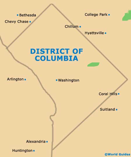
District of Columbia DC Map
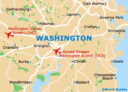
Washington DC Map
Useful Washington Links
Guide to Washington - detailed travel guide to Washington, District of Columbia (DC), USA
Ronald Reagan Washington Airport (DCA) - Guide to Washington (DCA) Airport
Washington Dulles International Airport (IAD) - Guide to Washington (IAD) Airport