
A Quick Orientation of Toledo
Very little about this ancient city has changed since El Greco painted the famous 'View of Toledo'. The city stands atop a hill overlooking the Tagus River and is surrounded on three sides by a gorge carved by the river. The most visible landmarks are the cathedral and the Alcázar, the famous fort built on the city's highest point in 1085. The city is divided into two parts: the Casco Historico, or Historical Quarter, and the newly-built neighbourhoods, which are separated by the city walls. The Bisagra Gate (Puerta de Bisagra) is probably the most popular means of entry into the old city.
Opposite the train station is an empty car park; if you head down the drive to the right of this then you will find the stop for the bus to the city centre. Alternatively, you can walk to the city centre in about an hour through the narrow, ancient streets. The Alcázar is an unmissable landmark that you can use to guide yourself, as the twisting medieval streets and constantly changing architecture make it easy to get lost. If you do lose your bearings, try following a tour group. You may not end up where you wanted to go, but you will end up at a landmark.
Spain Map

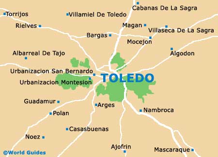
Toledo Map
Useful Toledo Links
Guide to Toledo - detailed travel guide to Toledo, Spain