
A Quick Orientation of Poole
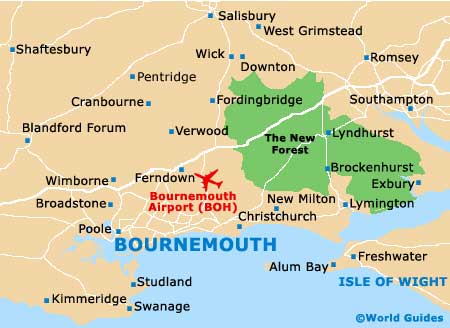
Poole is located to the west of Bournemouth, just five miles away from its busy town centre. The town of Ringwood and Bournemouth International Airport can be found by travelling northeast of the town centre.
The Sandbanks Peninsula can be reached by travelling along the B3369 road from Poole or on the B3065 from Westbourne (if coming from Bournemouth). Brownsea Island is located just off the west side of the Sandbanks Peninsula. The town centre is a short walk from the Quayside.
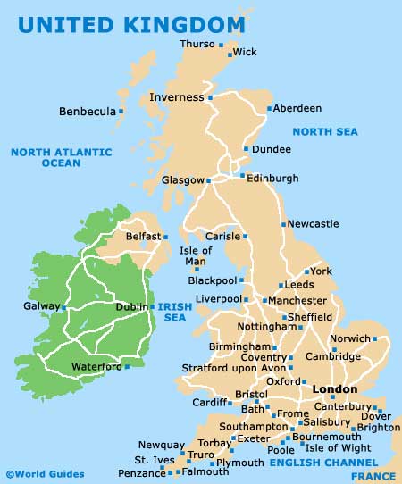
United Kingdom Map
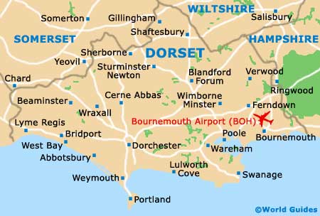
Dorset Map
Poole Map
Useful Poole Links
Guide to Poole - detailed travel guide to Poole, England
Poole Port Guide and Ferries - Port Guide to Poole harbour and ferries