|
|
|
|
|
Maps of Oxford, England
A Quick Orientation of Oxford
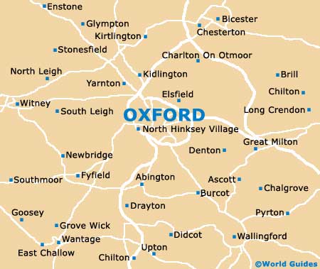
The centre of Oxford sits between the Thames (also known locally and on many maps as the Isis) and the Cherwell rivers. A busy junction, Carfax is the point from where three of the city's major thoroughfares originate. Many of Oxford's architecturally stunning colleges are either on or just off the High street, which runs east to Magdalen Bridge and the Cherwell River.
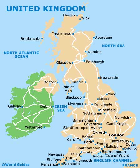
United Kingdom Map
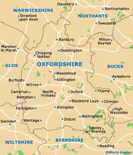
Oxfordshire Map
Oxford Map
Useful Oxford Links
Guide to Oxford - detailed travel guide to Oxford, England
|
|

|
OXFORD WORLD MAPS GUIDES...
Australia Guides
Austria Guides
Belgium Guides
Canada Guides
Channel Islands Guides
China Guides
Czech Republic Guides
Denmark Guides
Egypt Guides
England Guides
Estonia Guides
Finland Guides
France Guides
Germany Guides
Greece Guides
Hungary Guides
Iceland Guides
India Guides
Ireland Guides
Italy Guides
Japan Guides
Mexico Guides
Netherlands Guides
New Zealand Guides
Norway Guides
Poland Guides
Portugal Guides
Russia Guides
Scotland Guides
South Africa Guides
Spain Guides
Sweden Guides
Switzerland Guides
Thailand Guides
USA Guides
Wales Guides
|
|
