
A Quick Orientation of Newcastle
Newcastle lies on the north bank of the River Tyne, in the northeast of England. The famous Tyne Bridge connects Newcastle with the borough of Gateshead on the south bank of the river. Newcastle's main business district is around Grainger and Grey streets, and Quayside.
The city's Central Station is located in the Grainger Town area, which is full of historic buildings. Along the river is the historic Quayside area, which has been tastefully redeveloped after some years of urban decay and is now home to a number of trendy bars and restaurants as well as offices and housing.
Jesmond and Haymarket are lively areas, popular with students from Newcastle's two universities. Stowell street is the city's colourful Chinatown, with a number of excellent restaurants offering a taste of eastern promise. Bigg Market is a popular entertainment area in the centre of Newcastle, with pubs, bars, restaurants and take aways catering to fun-seeking party people.
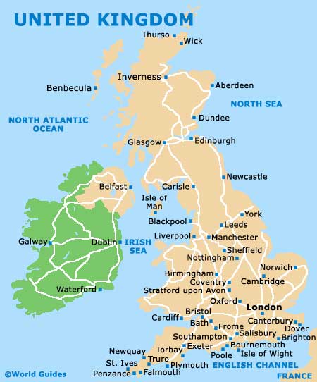
United Kingdom Map
Tyne and Wear Map

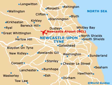
Newcastle Map
Useful Newcastle Links
Guide to Newcastle - detailed travel guide to Newcastle, England
Newcastle International Airport (NCL) - Guide to Newcastle (NCL) Airport
Newcastle Port Guide and Ferries - Port Guide to Newcastle harbour and ferries