
A Quick Orientation of London
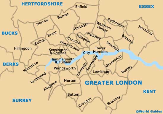
London is a vast, multicultural city and each district and neighbourhood has its own character. Winding through the heart of the city is the River Thames, which divides the city into north and south.
The most popular tourist sites are found on the north bank of the river. The West End includes: Covent Garden, with its shops and bars; Leicester Square; the red light district of Soho; Chinatown and shopping areas such as Oxford and Regent streets. To the east is London's historic financial district, known as The City, and the East End, while southeast of the Thames are lively, fashionable districts such as Brixton and Clapham. The southwest includes exclusive areas like Chelsea and Kensington, known for their upmarket shopping and dining.
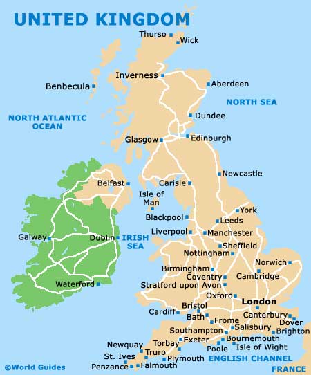
United Kingdom Map
Greater London Map
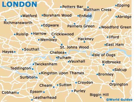
London Map
Useful London Links
Guide to London - detailed travel guide to London, England
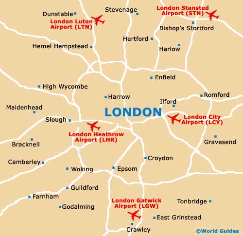
London City Airport (LCY) - Guide to London (LCY) Airport
London Gatwick Airport (LGW) - Guide to London (LGW) Airport
London Heathrow International Airport (LHR) - Guide to London (LHR) Airport
London Luton Airport (LTN) - Guide to London (LTN) Airport
London Stansted Airport (STN) - Guide to London (STN) Airport