
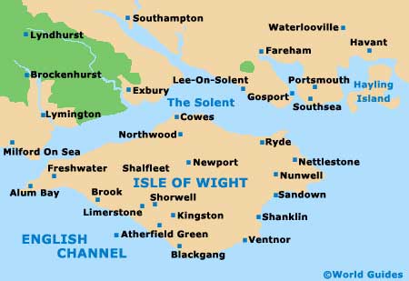
A Quick Orientation of the Isle of Wight
The main sea links across the Solent to the English mainland are situated at the towns of Yarmouth, Cowes and Ryde, on the north side of the island. Newport is located to the south of Cowes, close to Carisbrooke.
The Needles are a landmark off the west coast of the island, close to Alum Bay, Totland and Freshwater. On the east coast of the island are the towns of Bembridge, Sandown, Shanklin and Ventnor. Blackgang marks the southernmost point of the island.
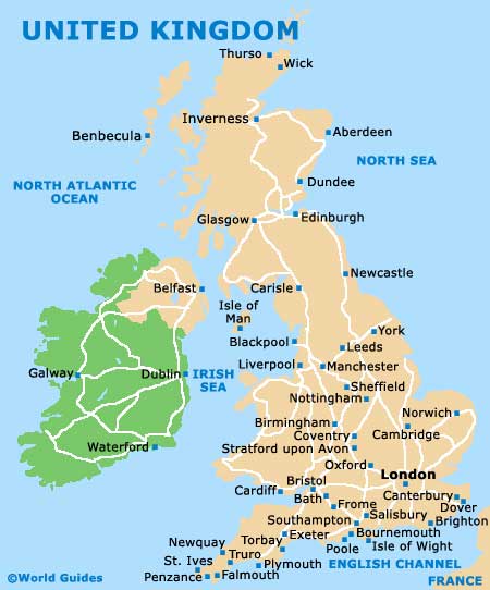
United Kingdom Map
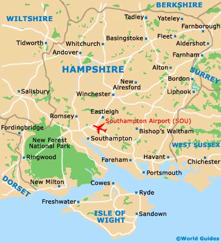
Hampshire Map
Isle of Wight Map
Useful Isle of Wight Links
Guide to Isle of Wight - detailed travel guide to the Isle of Wight, England