
A Quick Orientation of Honolulu
Interstate 1 bisects Honolulu, running from the airport, located four miles to the west of the city, through the downtown district and out the other side, heading east towards Waialee, Maunalua Bay and Hanauma Bay Marine Reserve. The land slopes sharply upward to become volcanic highlands in the north of the city and helicopter tours of this area are a popular tourist attraction.
The city itself contains several interesting neighbourhoods and districts and is divided into four main areas. Centred on the state capitol building, the Capitol district houses such landmarks as the Iolani Palace, while the Central Business District is home to some wonderful shopping as well as many of the city's hotels and restaurants. The historic Chinatown district is located northwest of downtown and is one of the largest Chinatowns in the US. This is a growing, lively area, full of new apartment blocks and electronics shops that sit alongside traditional open-air markets and winding alleyways.
Embracing Honolulu harbour in the south of the city, the waterfront has been a busy port since its construction. Receiving visitors from all over the world, this is an excellent place to shop, especially at the Aloha Tower Marketplace which overlooks the harbour. At the eastern end of the city, Waikiki is the busiest tourist area in the city. Waikiki Beach is simply marvellous, with crystal clear waters, fine white sand and gorgeous weather year round. Five-star hotels, restaurants and tour companies dot this area like clownfish on a coral reef, offering a bewildering array of activities.
United States Map

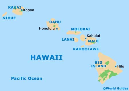
Hawaii Islands Map
Honolulu Map

Useful Honolulu Links
Guide to Honolulu - detailed travel guide to Honolulu, Hawaii (HI), USA
Honolulu International Airport (HNL) - Guide to Honolulu (HNL) Airport