
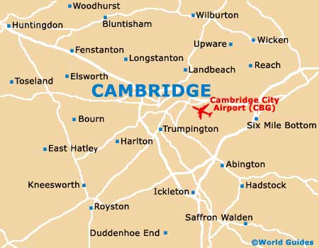
A Quick Orientation of Cambridge
The compact centre of Cambridge makes the town ideal for exploration on foot, with most of the town's attractions located within easy walking distance from one another. The River Cam passes to the north of the town and along the west side of the city, providing visitors with a useful landmark for navigation.
Spread across a circle shaped area, the town is encircled by the main streets of Chesterton lane, Elizabeth way and Gonville place as well as Queen's, East and Lensfield roads, with the vast majority of significant attractions contained within the enclosure of these roads. The north of Cambridge is characterised by the green areas of Jesus Green and Midsummer Common, with Jesus Lane Shopping Forum and the Grafton Centre within easy walking distance.
The splendid buildings that make up the University of Cambridge can be seen peppered throughout the town, the majority being situated in the west of Cambridge, along Trinity street, with King's College boasting some of the most ornate buildings.
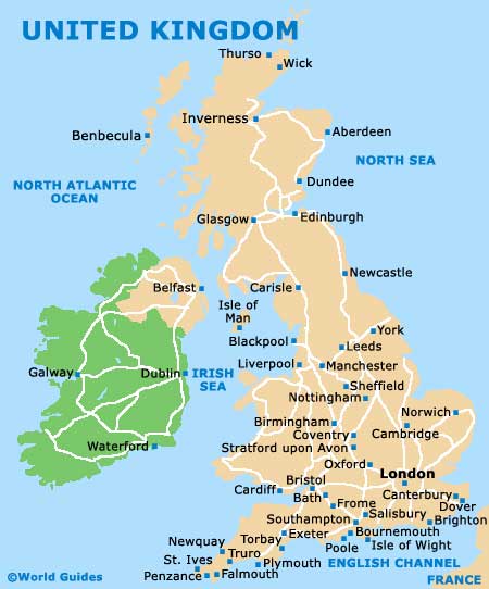
United Kingdom Map
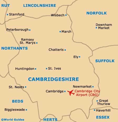
Cambridgeshire Map
Cambridge Map
Useful Cambridge Links
Guide to Cambridge - detailed travel guide to Cambridge, England