
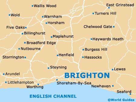
A Quick Orientation of Brighton
Situated in East Sussex on the south coast, Brighton is conveniently located less than an hour from London by train, making it possible to make a day trip to this seaside resort. Arriving at Brighton's magnificent and recently restored train station, visitors will catch a glimpse of the sea at the bottom of West Street - a continuation of Queen's Road. Just to the east of here are The Lanes, with their colourful cottages, quirky shops, restaurants, cafés and numerous pubs. Not far from here is the Old Steine and Brighton's landmark Royal Pavilion.
From the pavilion, you're just a stone's throw from Palace Pier, with its amusement arcades and rides. Farther east is lively Kemp Town, a trendy neighbourhood with many independent shops and some excellent bars. Heading west along the coast, Brighton merges with upmarket Hove, where there are even more pubs, shops and restaurants to choose from. Brighton is marvellously compact meaning the majority of places of interest can easily be explored on foot.
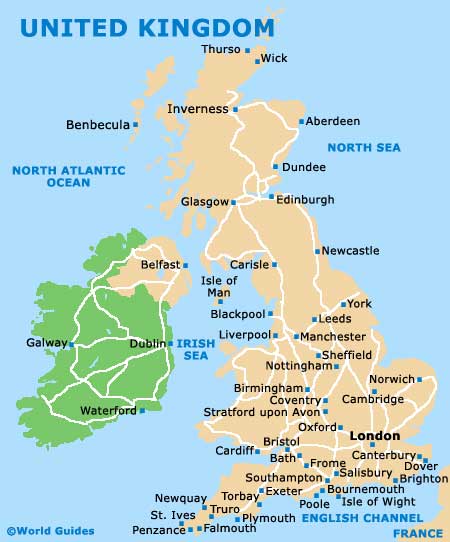
United Kingdom Map
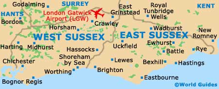
Sussex Map
Brighton Map
Useful Brighton Links
Guide to Brighton - detailed travel guide to Brighton, England