
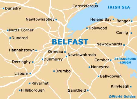
A Quick Orientation of Belfast
The city centre is situated on the River Lagan's west bank. City Hall is the main landmark to look for in central Belfast and it is located in Donegall Square. Travelling from Donegall Square to the northeast will take you through the Cathedral Quarter, from where you can continue on to the Albert Memorial Clocktower. To the north of the square are the city's most popular shopping areas, Donegall Place and Royal avenue. If you walk south along Dublin road from Donegall Square you will come across the Golden Mile, the Botanic Gardens and Queens University, while to the east along Chichester street is the Belfast Hilton and Waterfront Hall.
In the west part of the city you will find Falls and Shankill roads. You will know you are in west Belfast if you cross the Westlink motorway when travelling from the city centre.
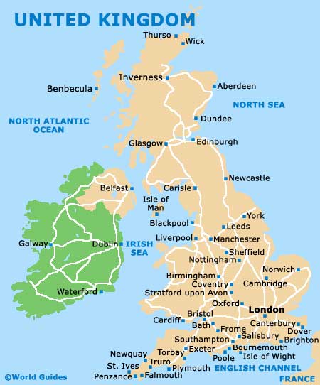
United Kingdom Map
Belfast Map
Useful Belfast Links
Guide to Belfast - detailed travel guide to Belfast, Ireland