
A Quick Orientation of Avila
Avila is situated roughly 70 miles from the major city of Madrid, atop a ridge facing the Sierra de Avila Mountains. At the lofty altitude of 3,706 feet, it is known for its bitter temperatures during the winter months. However, during the hot Spanish summer, this elevation means Avila can be a welcome relief from the arid plains at its feet. From Madrid, take the Spanish national railway, or the RENFA, from Chamartín Station to Avila Station. From here you can also find connecting trains to Salamanca, Bilbao, Malaga and Santander.
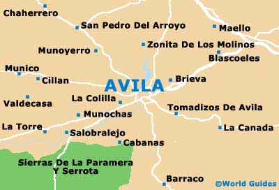
The RENFRE station is located at the northern end of the city. From here you can head east along Avenida de Madrid to reach the Four Posts, one of the area's most popular viewpoints. The old city itself is easily walkable and visible almost in its entirety from the city walls. The main landmark to orient yourself with is the Cathedral of Avila, which is incorporated into the city walls on the eastern side.
Spain Map

Avila Map
Useful Avila Links
Guide to Avila - detailed travel guide to Avila, Spain