
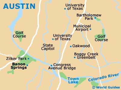
A Quick Orientation of Austin
Areas of interest are Congress avenue, Guadalupe and East Sixth streets. Congress avenue is the main street running through the city, with the Congress Bridge located at the southern end, while the northern end boasts the Austin State Capitol building.
Also referred to as 'The Drag', the Guadalupe street district runs from the university all the way to Town Lake. Many of Austin's top restaurants are located here and as one of the city's trendiest parts of town, the district is home to some of the city's most prominent fashion stores. East Sixth street is another groovy district that is a large area covering roughly ten blocks of restaurants, shops, offices and live music shows. There is good shopping here and it is arguably the most interesting side of town. Located on the south shore of Town Lake and close to Barton Hills is the Zilker district of Austin.
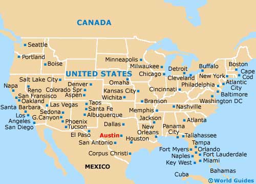
United States Map
Map of Austin Area
Useful Austin Links
Guide to Austin - detailed travel guide to Austin, Texas (TX), USA
Austin Bergstrom International Airport (AUS) - Guide to Austin (AUS) Airport