
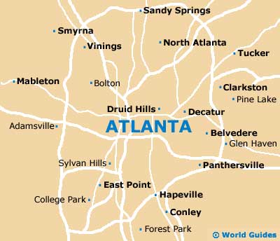
A Quick Orientation of Atlanta
Interstate 85 surrounds Atlanta, while I-75 runs from north to south. From east to west the city is bisected by I-20. The financial and entertainment axis of Atlanta is north-south, while the areas to the east and west contain much of the city's historic sites. Atlanta's city centre covers four square miles and is home to over 25,000 residents. Although it is called the city centre, it actually lies to the south of the main urban area. As the financial centre of Atlanta and much of the south, this is a thriving area dominated by lofty glass and steel skyscrapers that give Atlanta its distinctive skyline.
Just north of downtown Atlanta you will find the Midtown area, which is a rapidly growing neighbourhood, popular for its proximity to downtown. Midtown is Atlanta's arts and entertainment centre and is home to many of Atlanta's theatres and performing arts venues. North of Midtown lies the Buckhead area, which is divided further into five areas: Buckhead, Buckhead Village, Lenox, South Buckhead and West Paces corridor. Buckhead is currently the hot spot of Atlanta and one of the city's most vibrant areas, with most of Atlanta's nightlife concentrated in Buckhead Village. East of the city centre you will find Atlanta East, home to charming neighbourhoods as well as one of the most prestigious universities in America. In the west end of the city centre lies the West End district, home to Atlanta's oldest homes. One-time home of Joel Chandler Harris, Wren's Nest is probably the most famous of these.
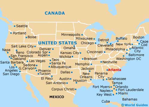
United States Map
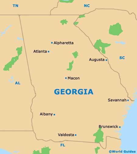
Georgia Map
Atlanta Map
Useful Atlanta Links
Guide to Atlanta - detailed travel guide to Atlanta, Georgia (GA), USA
Hartsfield Atlanta International Airport (ATL) - Guide to Atlanta (ATL) Airport