
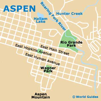
A Quick Orientation of Aspen
Aspen's small size makes navigation simple, with the main district easily explored on foot. The main axis of Aspen is a diagonal running from the southeast to the northwest, where Colorado highway E-82 becomes East Cooper street and later re-emerges at the northwest end leading to the airport. The central district of Aspen is roughly defined by Hopkins avenue to the north and Durant avenue to the south and it is here where you will find much of the accommodation, dining and tourist services located.
Known as Ajax to locals, the Aspen Mountain ski resort is located at the southeast corner of the town and is easily reached on foot from the downtown area. From the west end of town, you can head south towards three of Aspen's world-class slopes, Ashcroft, Snowmass Nordic and Aspen Highlands. At the northwest end is Buttermilk, perhaps the best-known of Aspen's ski resorts, while two of the city's spectacular golf courses, Aspen Golf Course and Maroon Creek Golf Course, are situated close by.
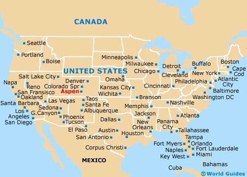
United States Map
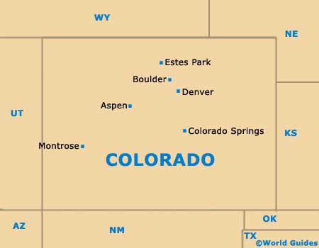
Colorado Map
Aspen Map
Useful Aspen Links
Guide to Aspen - detailed travel guide to Aspen, Colorado (CO), USA