
A Quick Orientation of Alice Springs
Although surprisingly large for its isolated location, Alice Springs is still a fairly small town. You can easily walk to the Central Business District from the train station on the west edge of town, which is bordered by the large thoroughfares of Stuart highway, Stott terrace, Todd mall and Undoolya road. Gregory terrace in central Alice Springs is the location of most the town's accommodation and tourist information centres.
West of town, along Larapinta drive, lies the Alice Springs Desert Park, while to the north you will find local landmark Anzac Hill. On the eastern edge of Alice Springs you will find the Olive Pink Botanical Gardens, a popular place for excursions. If you follow Stuart highway south until it becomes Telegraph terrace, you will find more hotels and restaurants.
Australia Map

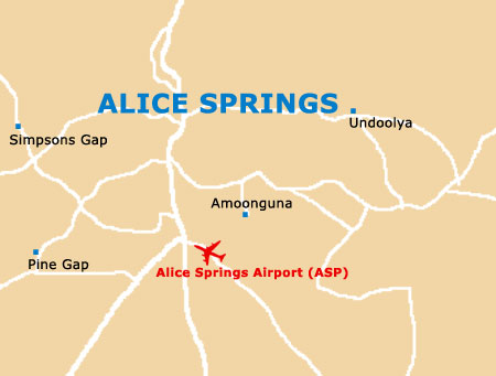
Alice Springs Map
Useful Alice Springs Links
Guide to Alice Springs - detailed travel guide to Alice Springs, Northern Territory (NT), Australia
Alice Springs Airport (ASP) - Guide to Alice Springs (ASP) Airport